Search StudySC for people, places, history, and ideas.
StudySC – Know where you live.
Explore South Carolina through StudySC! Learn about your community, South Carolina history, and the people who have made a significant impact on the state and the world.
SC Subjects by Grade Level
South Carolina People

Juan Pardo
Juan Pardo was a Spanish explorer who built missions and forts in the Southeast in 1566 and 1567.
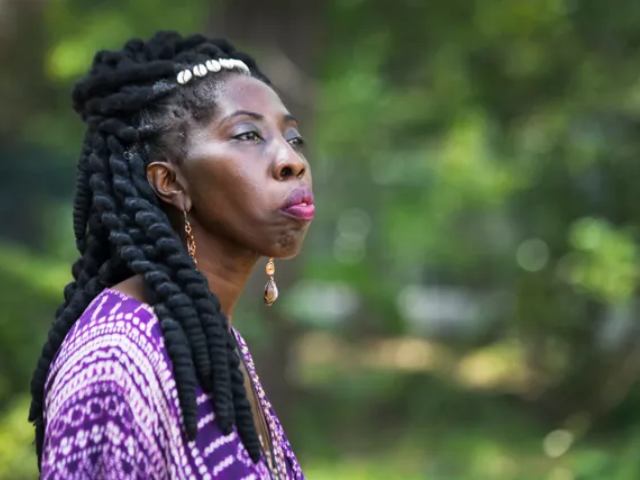
Queen Quet
Marquetta L. Goodwine, better known as Queen Quet is an author, preservationist, and artist who serves as Chieftess of the Gullah/Geechee Nation.
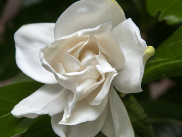
Alexander Garden
Alexander Garden was a Scottish-born physician and naturalist who lived for many years in Charleston, South Carolina, collecting and observing flora and fauna of South Carolina.
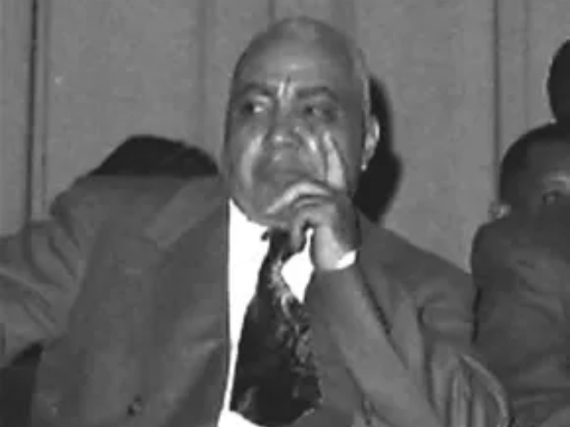
James M. Hinton
Reverend James M. Hinton was a businessman, minister, and leading Civil Rights figure.
South Carolina Counties
Oconee County
Oconee County takes its name from a Native American word meaning "water eyes of the hills." It was formed in 1868 from Pickens District, and the county seat is Walhalla.
Marlboro County
Marlboro County was named after John Churchill, the first Duke of Marlborough (1650-1722).
South Carolina Facts
South Carolina Mottoes
South Carolina has two official mottoes:
Animis Opibusque Parati (ah-ni-mis oh-pi-boos-kwe pah-rah-tee) means prepared in minds and resources.
Dum Spiro Spero (doom spee-roh spey-roh) means while I breathe, I hope.
South Carolina Glossary
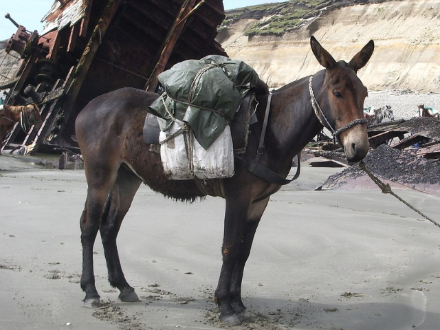
mule
(noun) - the offspring of a male donkey and a female horse
![]()
![]()
Copyright © 2024. All rights reserved.